UXO Surveys
Site Clearance Services
Fellows International Group offers a wide range UXO survey types and geophysical UXO survey services to lower the risk of encountering unexploded ordnance on your site to ‘As Low As Reasonably Practical’ (ALARP). This could include either legacy ordnance from World War I, World War II or other historical periods, to more conventional modern-day ordnance from Ministry Of Defence training estates, or other military facilities and establishments.
Depending on site requirements and historical information from the Detailed Risk Assessment (DRA) the service can be split into two requirements, shallow and deep instrument search. Each of these will depend on size and mass of any expected ordnance to be encountered. For shallow trenching or fence erecting etc. a shallow instrument search may be advised or for deeper excavations or piling then a deep search would be required.
Non-Intrusive Survey
Site Survey
Non-Intrusive UXO detection survey will detect, record, and plot potential ordnance from past military land usage. To achieve this, each site usually is sectioned into smaller, manageable areas (generally 50m x 50m). All data gathered will be analysed on-site in the first instance to identify significant anomalies, before getting passed on for interpretation by a Fellows Data Analyst experienced in electromagnetic UXO survey. This method generally offers. The factify for groundworks to commence on a cleared section – helping reduce site delay.
On completion of the survey, a final report will list any detected potential UXO (pUXO) anomalies which may need to be excavated and identified, as well as include a Main Targets List (MTL).
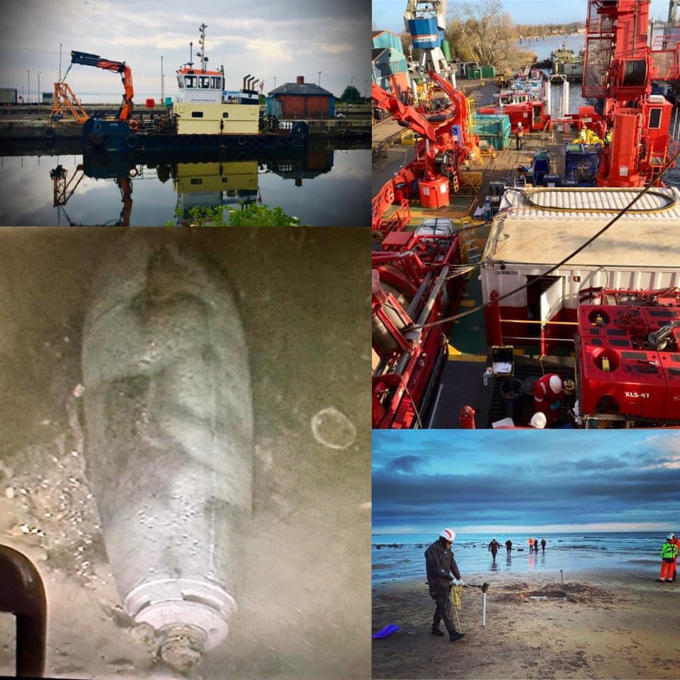 Marine Survey
A marine survey includes the use of a Side Scan Sonar (SSS) and/or a 3D chirp, both of which are vessel mounted devices. The SSS survey would be conducted first, allowing for identification of possible obstructions to the vessel or equipment. The SSS is positioned using manual layback and would be corrected to existing multibeam echosounder (MBES) data. The 3D Chirp would then be bow-mounted in a bespoke frame. Line spacing would be set to 1m in order to achieve 100% coverage of the survey area.
Drone Survey
This method uses a drone which has Magnetometry UXO survey capability and a radar system, allowing the drone to consistently fly as low as 70cm from the ground. The primary use of this drone is to detect UXO in difficult to access or large areas, including fields for solar farms, marsh areas, and intertidal or beach locations. All drone operations are conducted under an Operational Authorisation from the UK Civil Aviation Authority (CAA).
Intrusive Survey
Watching Brief
A Watching Brief (also known as a UXO Banksman)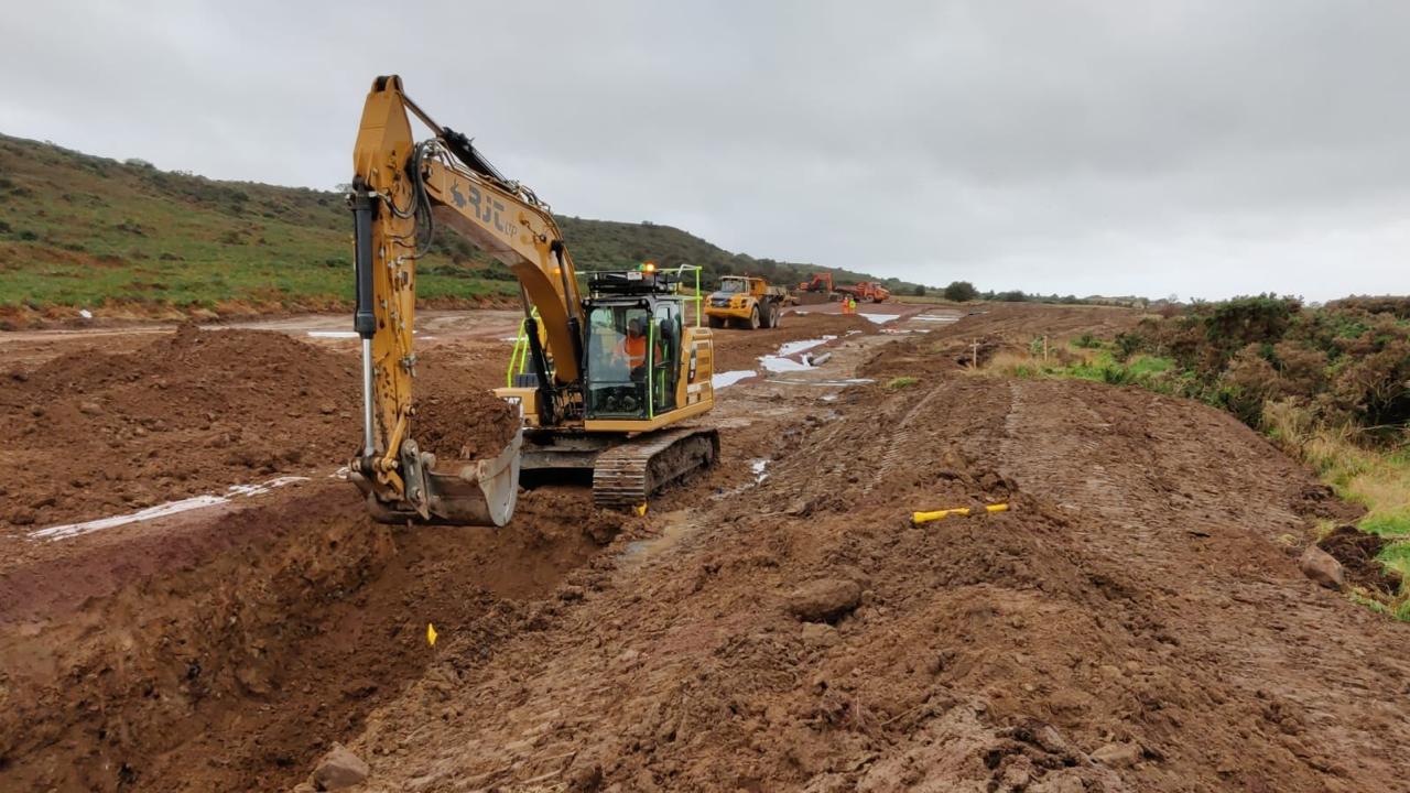 will provide monitoring during shallow excavations at your site. During ground clearance, a portable magnetometer detector will be used ahead of excavations and land clearance for UXO. Any anomalies can be immediately investigated by hand or controlled mechanical means.
Ground Investigation (GI)
To support deeper ground works at your site, a fully equipped UXO Survey Engineer would conduct ground investigation, which involves scanning at the surface around a pre-marked area. GI positions intended to be deeper than 2-3 metres would need to be surveyed at the surface prior to drilling or excavation, and subsequently in further stages using down-hole procedures until maximum bomb penetration depth (mbp) is reached.
Cone Penetrometer Testing (CPT)
A UXO Survey Engineer may conduct UXO scanning of piling positions on your site using a CPT rig. Each pile position would be surveyed to the maximum penetration depth that the most common air-dropped munition could reach. These probe positions would be cleared to a 1.75m radius from the centre with probe positions overlapping, reducing the UXO risk
Contact Us
